
Juanes Lamilla
Data Science, Geospatial Analysis, Urban Planning, & Biofuel Entrepreneurship
Exploring the Power and Limitations of OpenStreetMap Data for Urban Analytics
The availability of geographic data is crucial for the analysis of cities and urban areas. Traditional methods of collecting data, such as surveys or government censuses, are often expensive, time-consuming, and may be outdated. Fortunately, with the advent of open-source mapping platforms like OpenStreetMap (OSM), urban analytics has become more accessible and affordable than ever before.
In a recent study, I explored the use of OSM data to investigate the relationship between parking availability and quality of life in cities worldwide. Using a linear regression model, I analyzed nearly a million data points from OSM and found a strong negative correlation between the number of parking spaces in a city and its overall quality of life.
One of the key advantages of using OSM data is its accessibility. OSM is an open-source mapping platform that allows anyone to contribute data, making it a community-driven initiative. As a result, the dataset is incredibly comprehensive, covering thousands of cities across the world. Large amounts of data can be quickly and efficiently accessed through the use of OSMs query API titled Overpass, eliminating language and cultural barriers that can present themselves when attempting to access information from other parts of the world. This means that researchers can easily access large amounts of geographic data without having to invest significant resources into data collection.
However, it is important to acknowledge the limitations of OSM data. As with any crowdsourced data, there is a possibility of inaccuracies or biases in the dataset. For example, certain areas may be overrepresented or underrepresented in the data, depending on the level of engagement of local contributors. In my study, I addressed this issue by normalizing the data based on city population and the number of contributors per capita.
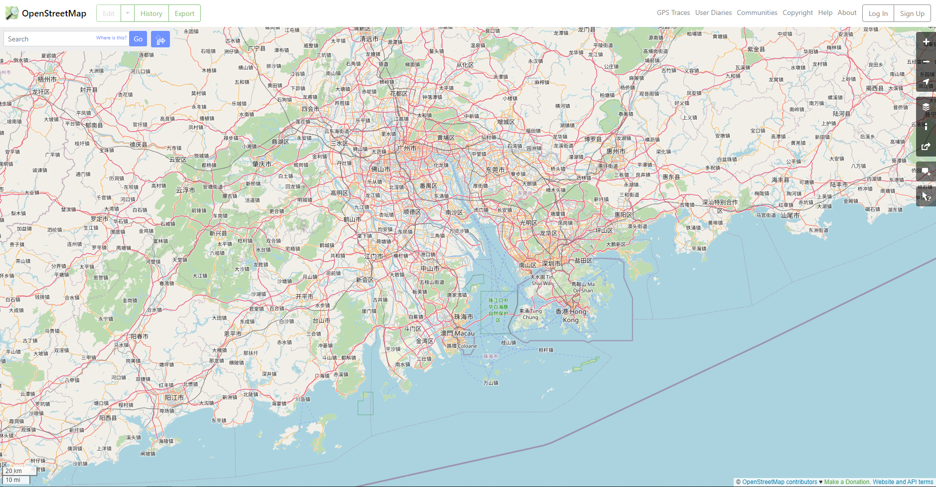
It is worth noting that despite the growing popularity and accessibility of OSM, not all countries have the same level of access to the platform. For instance, China has placed significant restrictions on contributions to OSM, limiting the amount of data available from this highly populated country.
As stated on the OpenStreetMap wiki:
“According to the Surveying and Mapping Law of the People's Republic of China, private surveying and mapping activities without certificate(s) are illegal in mainland China. "Since at least 2007, it has been effectively illegal for foreigners to operate a GPS device in China." China's state media has released a string (of) news articles about illegal mapping efforts as a threat to national security (stating that) any foreigner collecting geographical data without permission will be "severely punished". This seems to outlaw the entire OSM project and any participation or contribution.”
This is a significant issue for urban analytics, as China is home to some of the world's largest and most rapidly growing cities. The lack of data from China has the potential to skew analyses, as important information about this region is not accounted for. However, despite this limitation, the growing availability of OSM data from other regions means that researchers and city planners can still draw valuable insights and make informed decisions about urban areas around the world.
Despite these limitations, OSM data can provide valuable insights into urban areas that were previously unavailable or difficult to obtain. By leveraging the power of OSM, researchers and city planners can gain a better understanding of the spatial patterns and characteristics of urban environments. This information can then be used to inform policy decisions and improve the quality of life for residents.
It can't be denied, OSM is a powerful tool for urban analytics. Its accessibility, comprehensiveness, and community-driven nature make it an attractive alternative to traditional data collection methods. However, it is important to be aware of the potential limitations and biases in the data and take steps to address them. By doing so, researchers and city planners can unlock the full potential of OSM data and make informed decisions that benefit urban communities around the world.